Articles
190128 | Project 2026 - British Horse Society
Submitted by via BHS on Sat, 02/02/2019 - 01:00.


This is a national web based project with the aim of identifying routes which potentially are unrecorded Rights of Way and to record progress towards submitting Definitive Map Modification Order Applications. There is a separate sub-project for each County or Local Highways Authority area.
Please see Project 2026 Cornwall read more »
190128 | Footpaths to take priority | Falmouth Packet
Submitted by via Falmouth Packet on Fri, 01/02/2019 - 11:59.


130626 | Closure Footpath 16 development works to 1st Jan 2014 | Cornwall Council
Submitted by Angarrack.info ... on Thu, 01/08/2013 - 16:41.
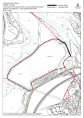
As reported in Hayle Pump 110 http://www.haylepump.org.uk/documents/HAYLEPUMPISSUE110s.pdf
Footpath to the Weir Closed
The path down to the weir is temporarily closed over Carnsew Quay behind Jewsons. This is to permit development work connected with repairing the sluice gates and tunnels to re-introduce sluicing. The alternative rote is the long way around Carnsew basin/pool joining behind the old Mitchell the Printers, or by the Tempest building at the start of Hayle Causeway. This will be for a matter of months. read more »
121028 Angarrack Rights of Way repairs | Hayle Town Council
Submitted by Angarrack.info ... on Fri, 16/11/2012 - 13:56.

From Minutes of the Hayle Town Council Meeting held at the Hayle Community Centre, Hayle on Thursday 18 October 2012 commencing at 7.15pm with a Public Participation Session.
read more »105 FOOTPATHS
Maintenance Update
Footpaths
Submitted by Angarrack.info ... on Sun, 01/01/2012 - 01:00.

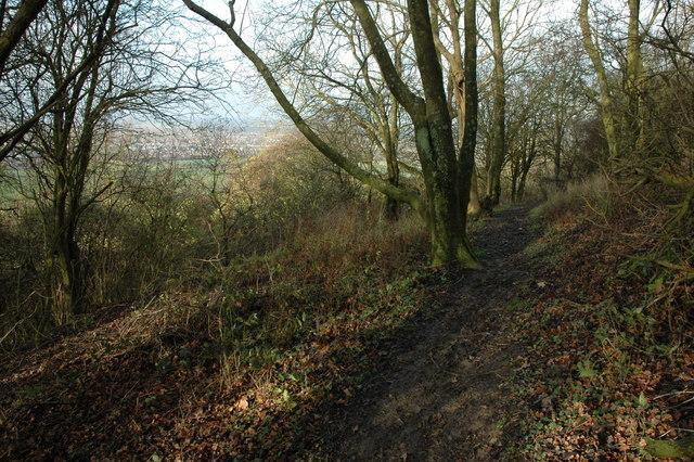
Rights of way around Angarrack
- Path No. 101/20 Map Reference: SW592378
FP from Gwinear via Trungle to Parish Boundary at Angarrack
CC Priority GOLD           0.66 miles.
- Path No. 101/28 Map Reference: SW589379
FP from Trungle Farm to Mellanoweth Farm and Parish Boundary
CC Priority BRONZE         0.06 miles.
- Path No. 102/35 Map Reference: SW584381
BW from Old Mill, Angarrack to Parish Boundary (known as Riverside)

